Indiana Historic Shipwrecks
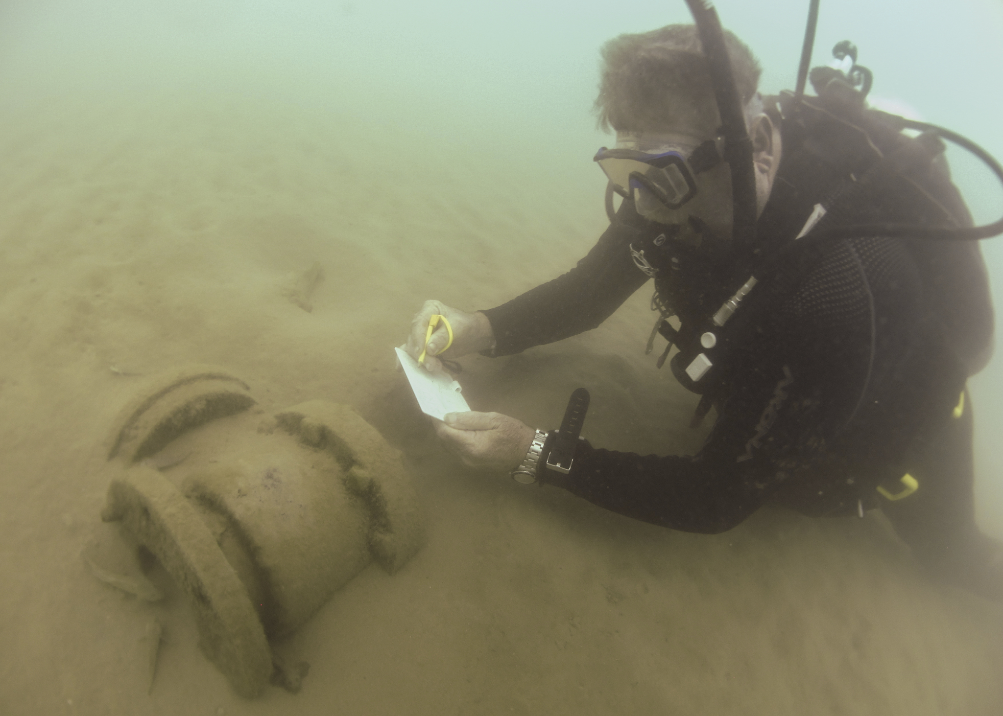
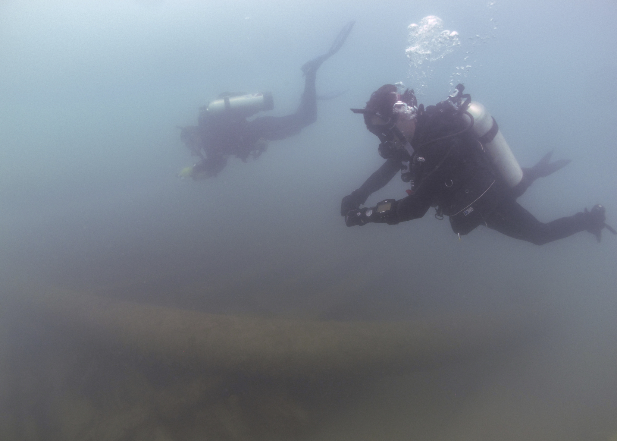
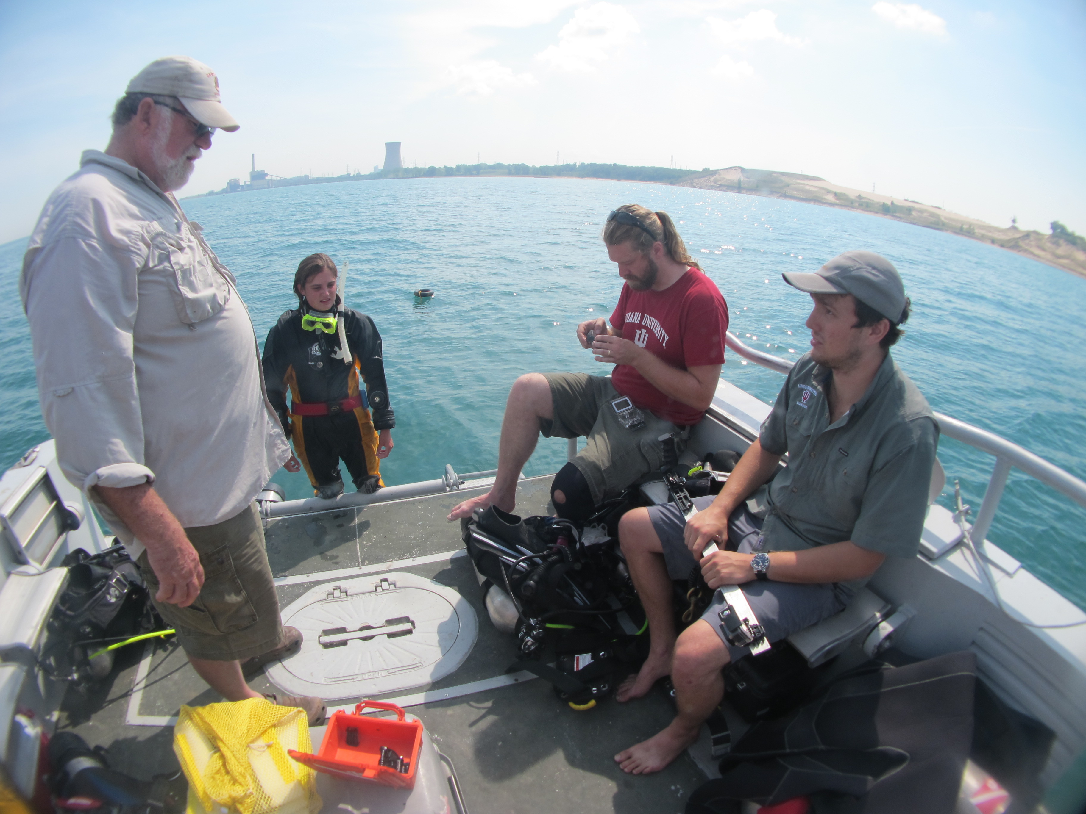
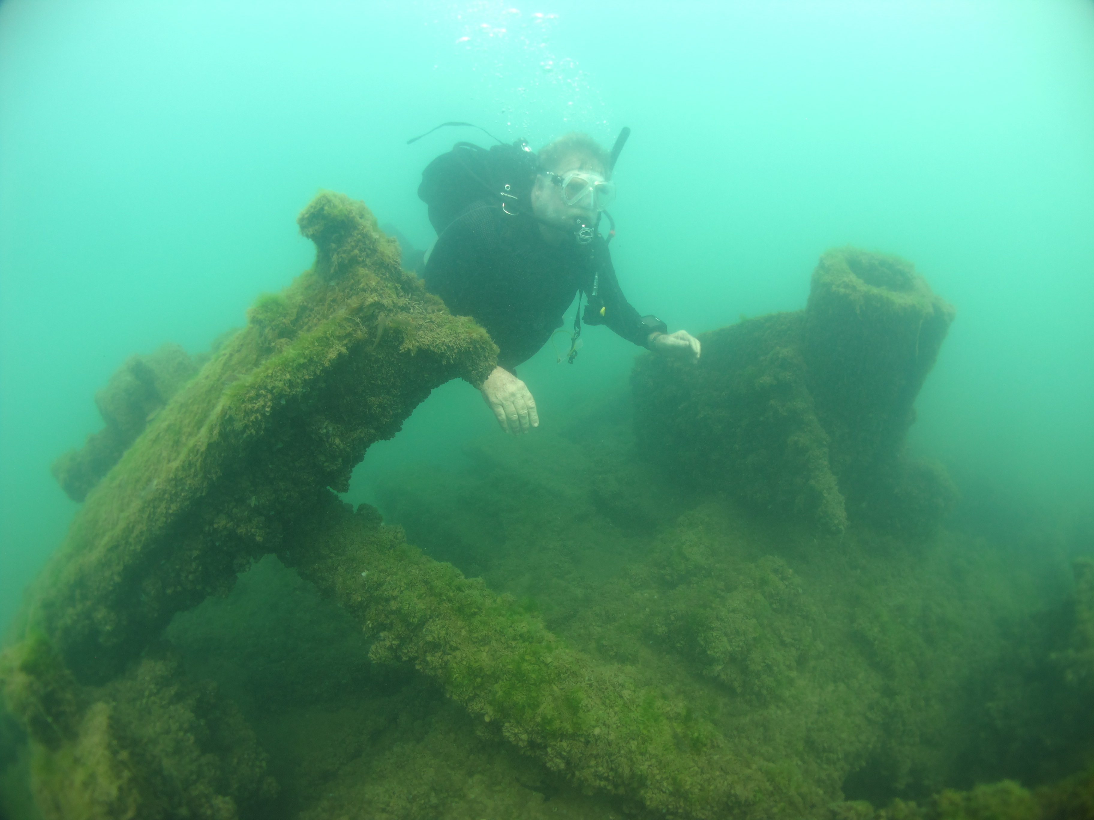
Indiana University Center for Underwater Science has been conducting ongoing archaeological monitoring and photogrammetric surveys of the historic shipwrecks the Muskegon and the J.D. Marshall to produce 3D photogrammetric models to assist with management decisions and provide public outreach support, along with interpretive models for education. This project is funded from the Indiana Department of Natural Resources Lake Michigan Coastal Program and the National Oceanic and Atmospheric Administration.
The state of Indiana has the smallest territorial waters of any Great Lakes state, spanning just 45 miles of Lake Michigan shoreline and containing approximately 225 square miles of bottomland (Beeker et. al 2000, Haskell et al. 2018). Despite the state’s small amount of coastline, the Indiana Department of Natural Resources (DNR) has identified the potential of fifty unique, historic vessels in Indiana territorial waters, with wrecking dates ranging from 1843-1936 (Ellis 1989). Of these fifty potential shipwrecks, only fourteen have been located and are included in the Indiana Marine Cultural Resource Inventory (Ellis 1989).
Historic shipwrecks in Indiana territorial waters are valuable examples of Indiana’s diverse and unique maritime history. These vessels offer a cross section of Indiana and Great Lakes cultural heritage and commerce, giving historians and archaeologists an intimate look into the historic use of our state’s coastal waters. Archaeological investigations of these shipwrecks can answer important questions concerning maritime technology and its influence on the historical landscape of the Great Lakes (Rogers 2016). Public awareness of submerged cultural resources creates a tie between local communities and a shared maritime heritage of the region, fostering a sense of stewardship for the protection of cultural heritage.